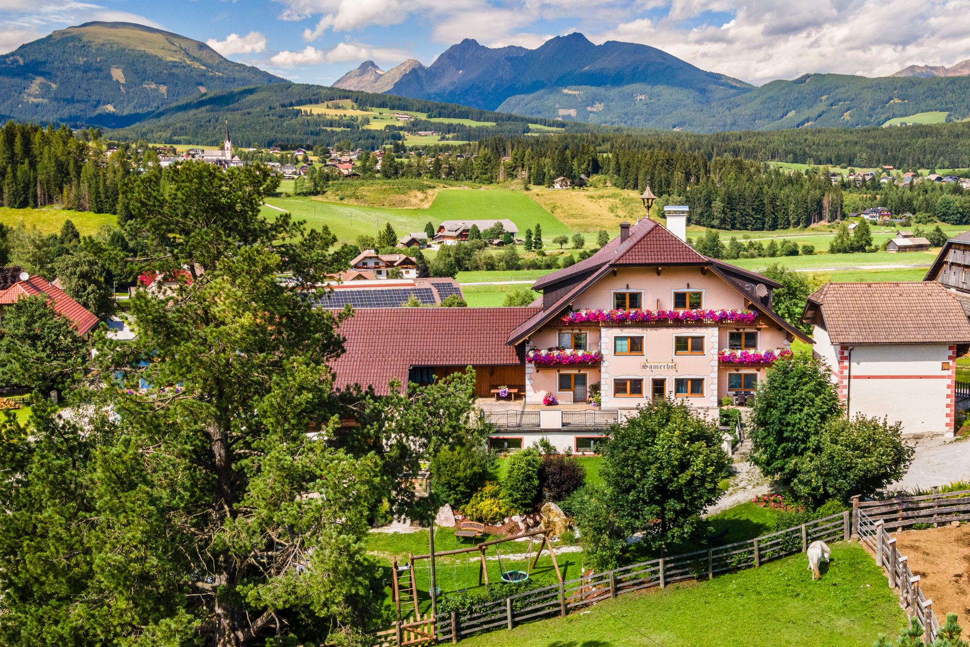
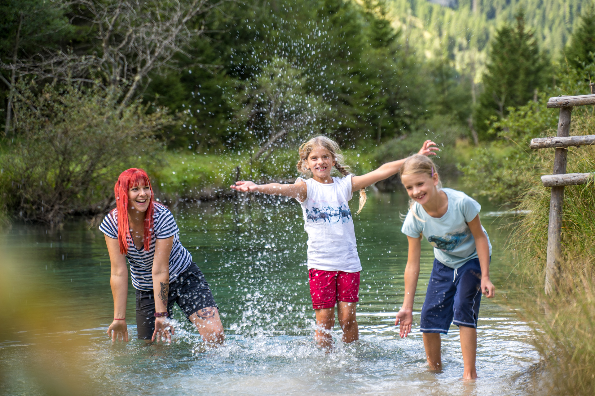
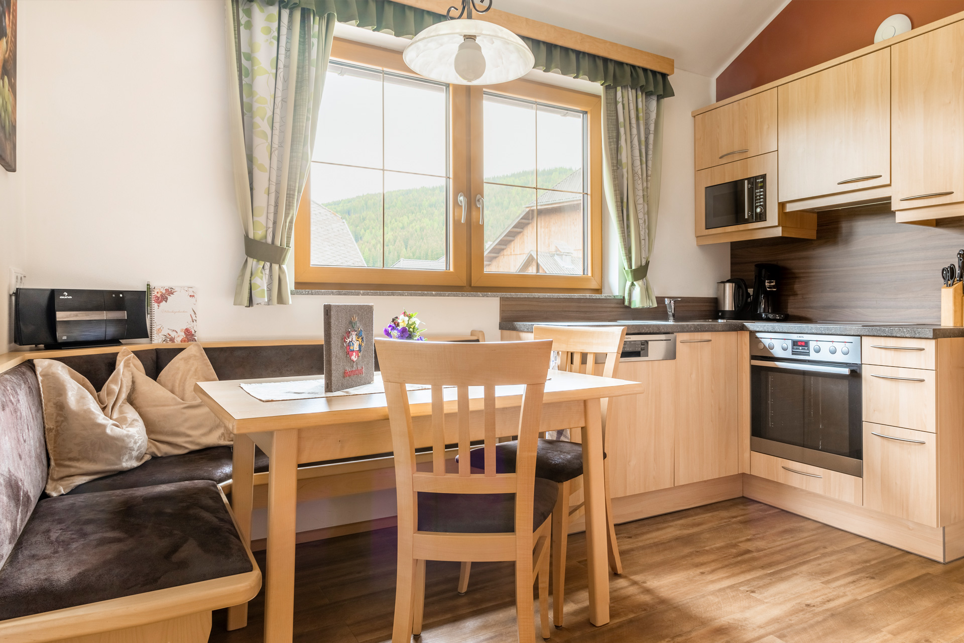
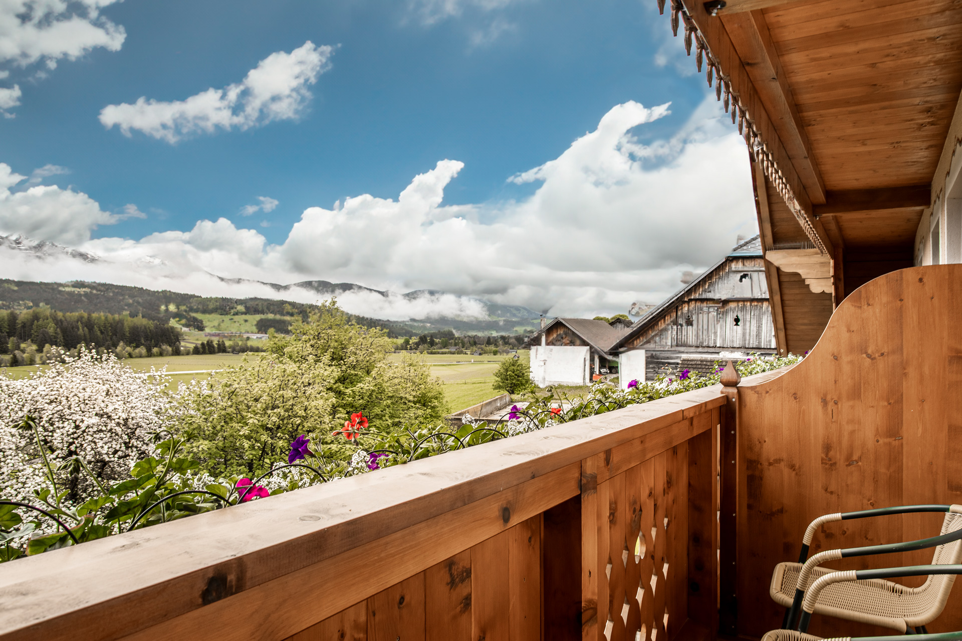
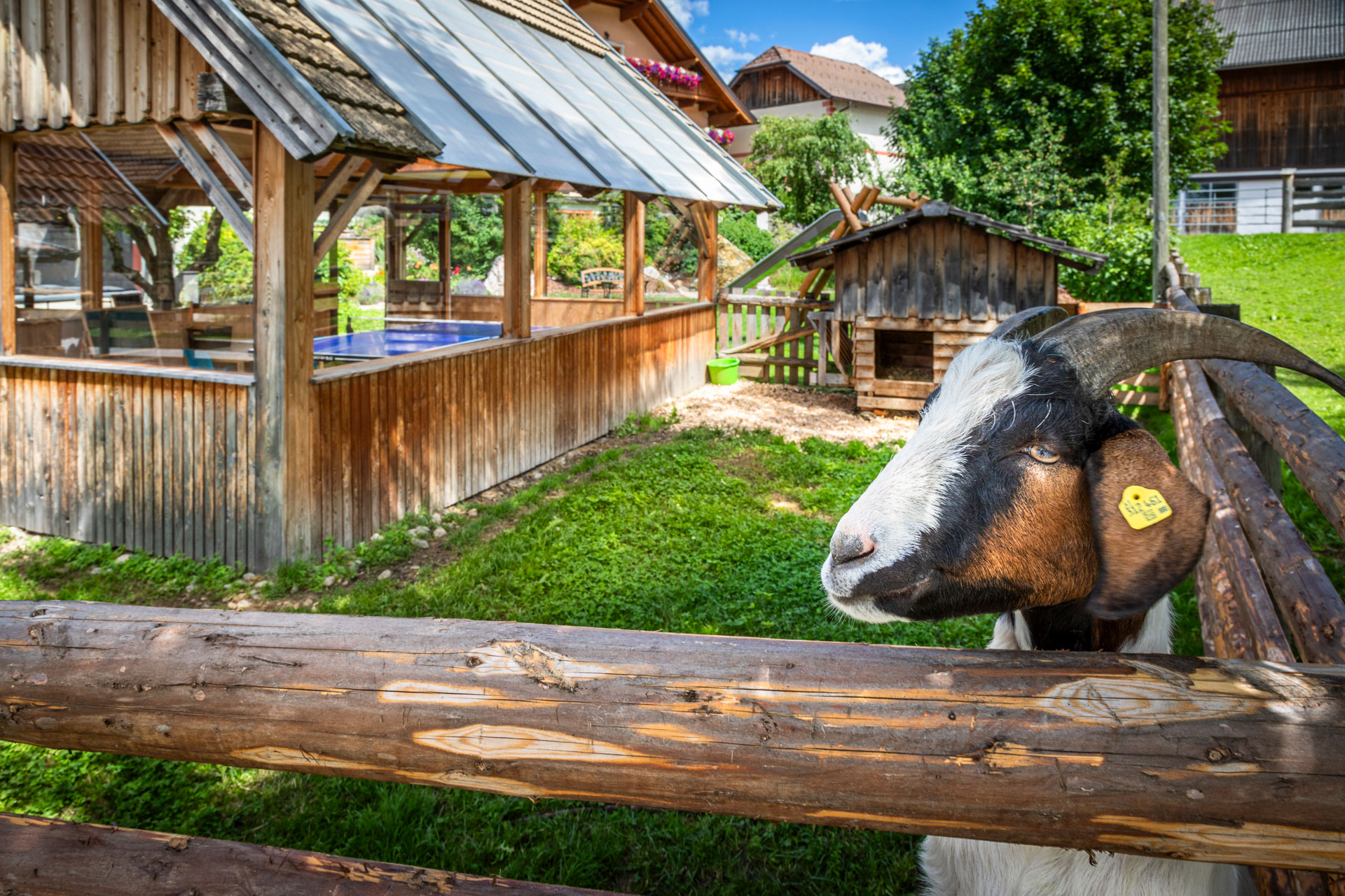
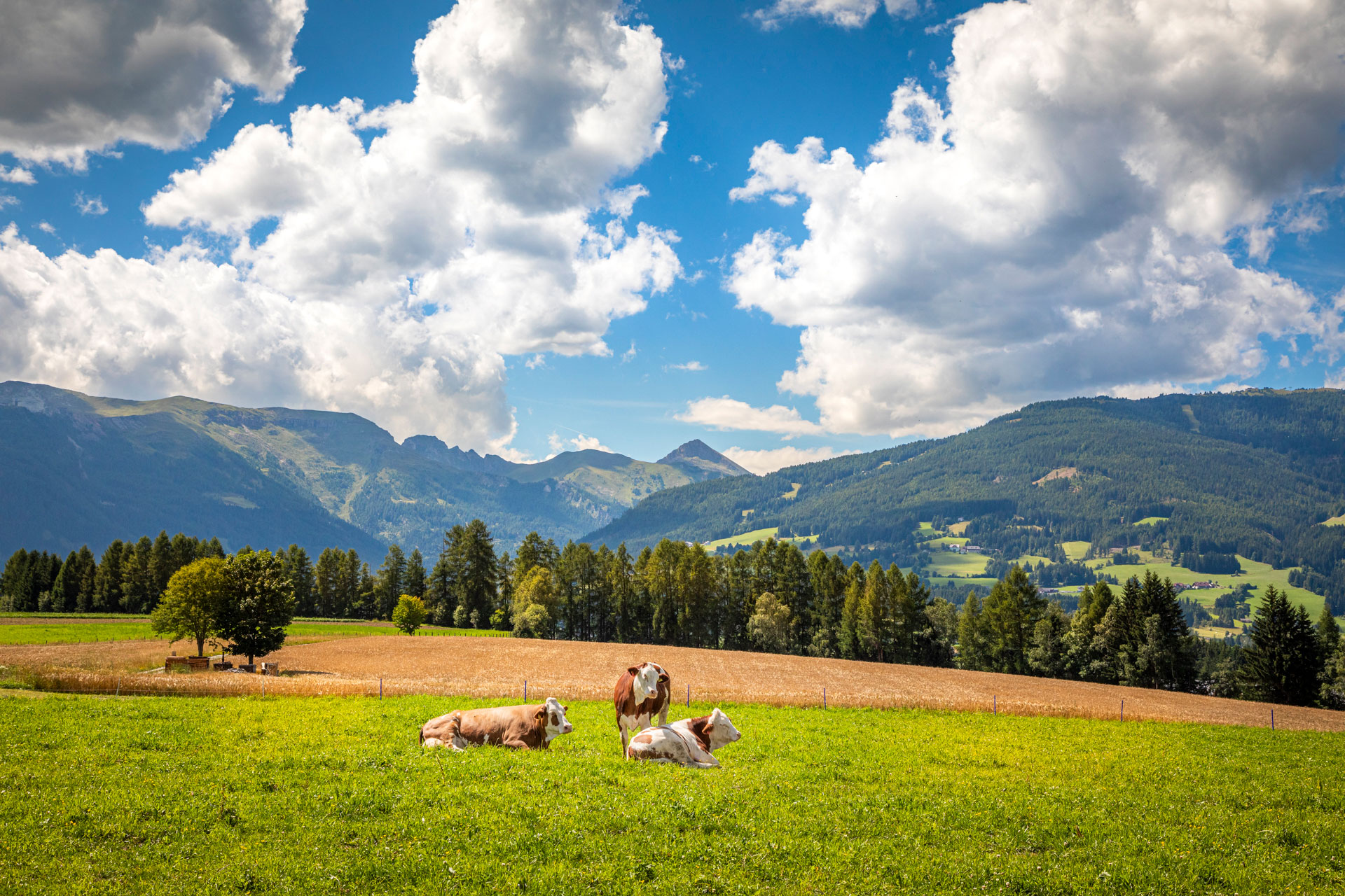
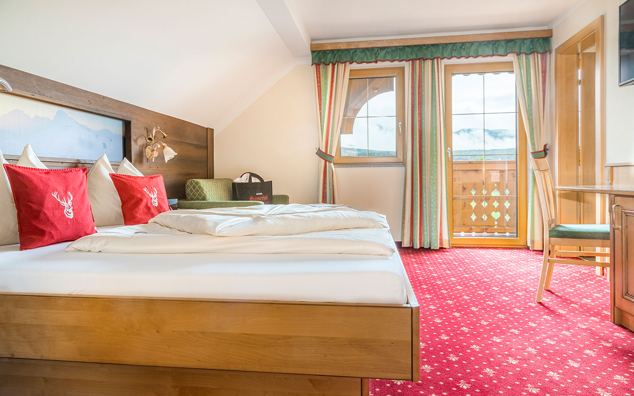
Hiking close to the Samerhof in the Lungau

Up hill and down dale

The Lungau region surrounding the Samerhof is a wonderful hiking area. Lakes, summits, and meadows make hiking excursions simply unforgettable, both for avid summiteers and families.

Wandern im Lungau

The summits, brooks, and valleys of the Lungau region promise many beautiful hiking tours. Whether families with children, alpinists, trekking lovers, or climbers, there are hiking paths for everyone. Especially beautiful are the hikes in Riedingtal, Schönfeld and Bundschuh, the Karneralm and the Trogalm.

From up in the mountains, the views of Lungau’s high valley are fantastic. No less fantastic is a leisurely hike along a brook. The many side valleys of the Lungau are picturesque in every season, and a rustic hut awaits at the end of the valley. Then you have to make a tough decision: stay there and be served Lungau treats such as rahmkoch, donuts, butter and cheese, or head out for the high peaks.

Hiker- and family-friendly:

  • Comfortable and environmentally-friendly valley buses to Lungau trail heads
  • Summer lifts for less experienced alpinists.

A very popular destination with guests of the Samerhof in Mariapfarr is the Troglam in Mauterndorf on the Grosseck-Speiereck. This is reachable in around 2 hours by foot or with the gondola and a short downhill walk. After the mountain station, you can also make the climb to the summit of the Grosseck in around 1 1/2 hours. On the ascent to the hut, you will come to Trogalmsee lake and Trogalm chapel, in which the statue of Saint Leonhard, the patron saint of animals, is located. The Trogalm is a communal meadow, up to which several farmers drive their animals. Also there are 8 animals from the Samerhof, who spend their own summer “vacations” there every year.

Additional tour tips for hiking in Lungau

Hiking made easy. Many tours await you!

You will find hiking tours here, as well as via ferrata and Nordic walking paths, along with mountain bike trails and bicycle paths. All tours include GPS data, descriptions, maps, info, and photos.